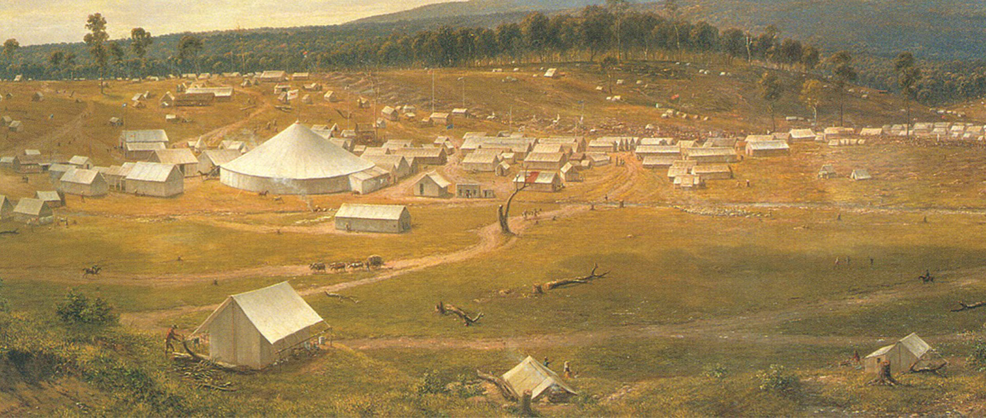
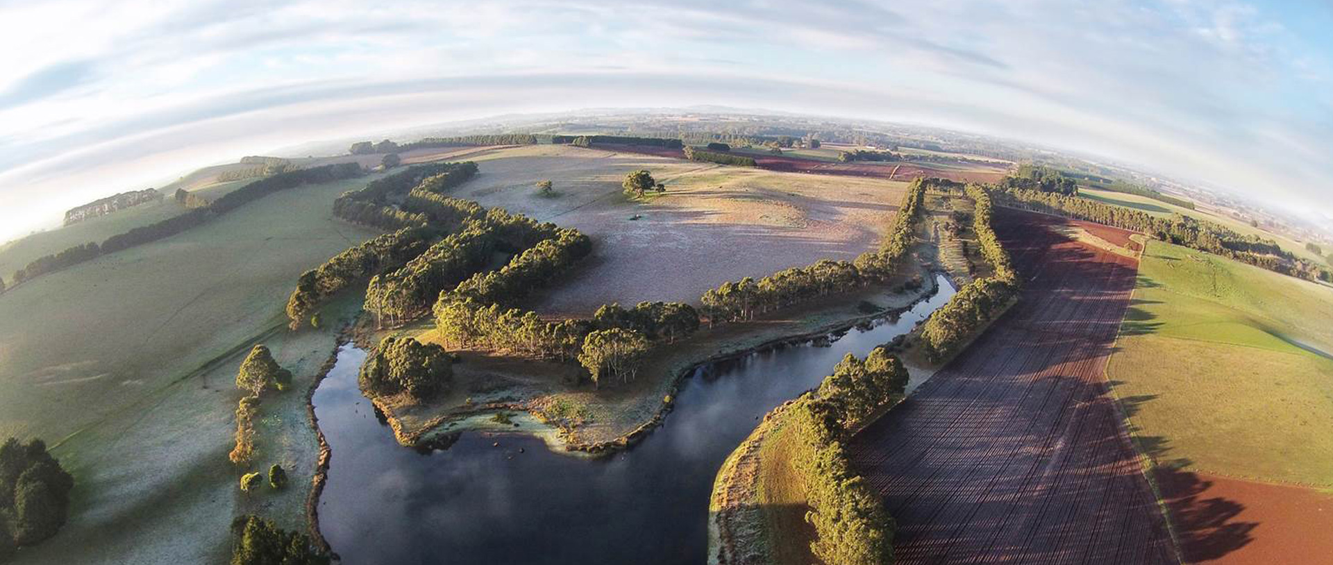
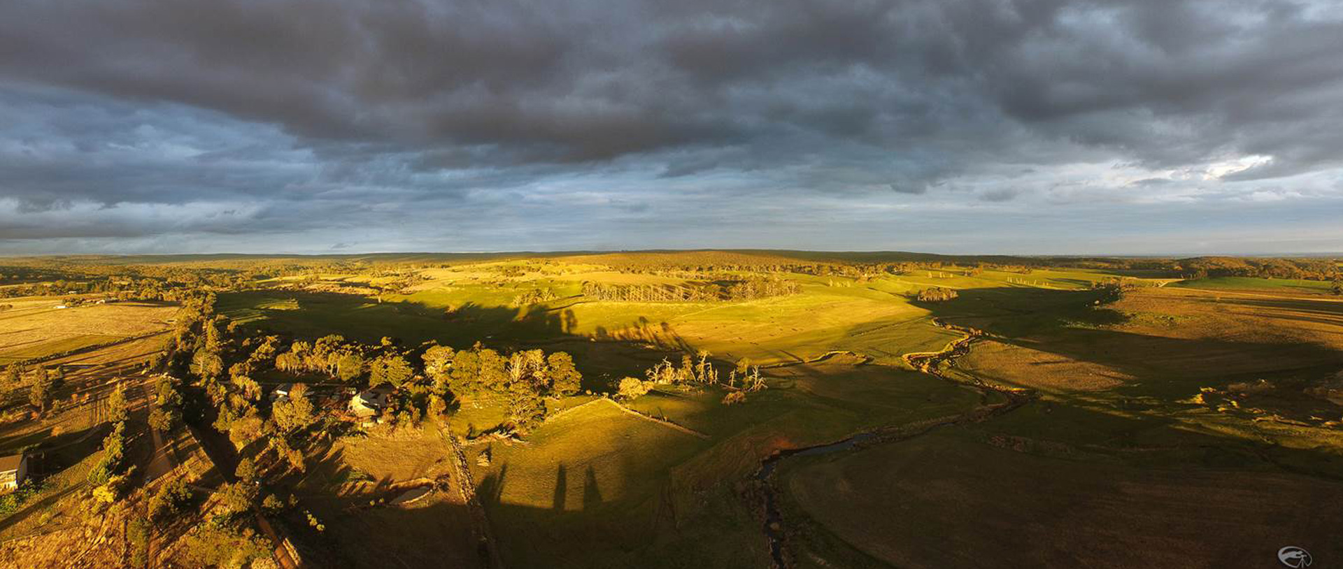
Visualising Ballarat is a new mapping interface which brings together the ‘DNA’ of the municipality of Ballarat. It’s part of an international program to change the way we see and understand local places called the ‘Historic Urban Landscape (HUL) approach’.
All Content © 2026 CeRDI - All Rights Reserved Privacy Statement | Sitemap
![]()